

GEOPORTALS AND INTERACTIVE MAPS
Data visualization is often the key to understanding processes and phenomena. We create functional map portals for browsing, searching and data analysis.
Friendly visualization
Interactive maps allow for clear presentation of information that cannot be conveyed in the form of text or charts. They enable access to data on multiple devices at the same time and in virtually all conditions.
Fast and precise information
Interactive maps provide the ability to quickly find and reach the necessary information, which is often scattered among various departments of a given organization.
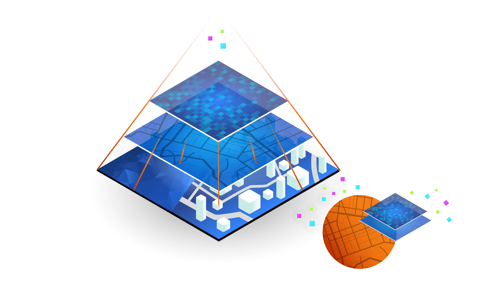
Multiple data - one map
In geoportals, information is placed on various independent layers, which allows extensive interactions with the data (layers), such as by changing the order, transparency and filtering, as well as enormous possibilities for interpreting phenomena and their analysis.

Different scales of visualization
The presentation of data on many scales (as opposed to a paper map) provides the possibility of analyzing phenomena on many levels and degrees of generality.
Live update
An interactive map provides access to data that is always up-to-date (it can be updated automatically), unlike a paper map, which is up-to-date only at the time of its development.
Common work tool
Thanks to the availability of data from various devices at the same time, the interactive map becomes a tool facilitating the work of multi-person and distributed teams.